
Hempfield Township ZIP Code Coverage
Hempfield Township is not a one-ZIP place. The Township's 2023 plan survey found that 63 percent of respondents used the 15601 Greensburg postal area, almost 13 percent used 15642 in the North Huntingdon postal area, and just over 8 percent used 15644 in the Jeannette postal area. Those figures describe respondent postal identity, not an address-by-address municipal boundary. County GIS remains the way to confirm that a particular parcel is inside Hempfield Township.
| ZIP | Areas Covered | Post Office | Notes |
|---|---|---|---|
| 15601 | Greensburg postal area, including many Township addresses | Greensburg | Primary local postal identity. It also includes addresses outside the Township. |
| 15642 | North Huntingdon and Irwin postal-area identity used by some Township respondents | North Huntingdon / Irwin area | Postal geography crosses municipal identity. Do not label every 15642 address Hempfield Township. |
| 15644 | Jeannette postal-area identity used by some Township respondents | Jeannette | A Jeannette postal label does not settle Township jurisdiction. |
| Additional edge or PO-box ZIPs | Not fully verified as Township-wide coverage | Varies by address | Confirm with USPS and GIS before calling an edge ZIP part of the Township. |
The table is deliberately conservative. Neither the Township material nor USPS's public point lookup publishes a certified export of every postal fragment within the municipal boundary.
Check Hempfield Township ZIP Codes With Two Sources
Use the USPS ZIP Code Lookup with a complete street address to obtain the delivery ZIP and recommended postal presentation. Then use Westmoreland County GIS with the address and the Hempfield Township municipality selection. The parcel popup supplies the county's 911 address and map context. If the postal city and GIS municipality differ, keep both labels. They answer different questions and neither needs to be overwritten.
The official USPS ZIP Code Lookup is shown in this Hempfield Township ZIP code directory capture.
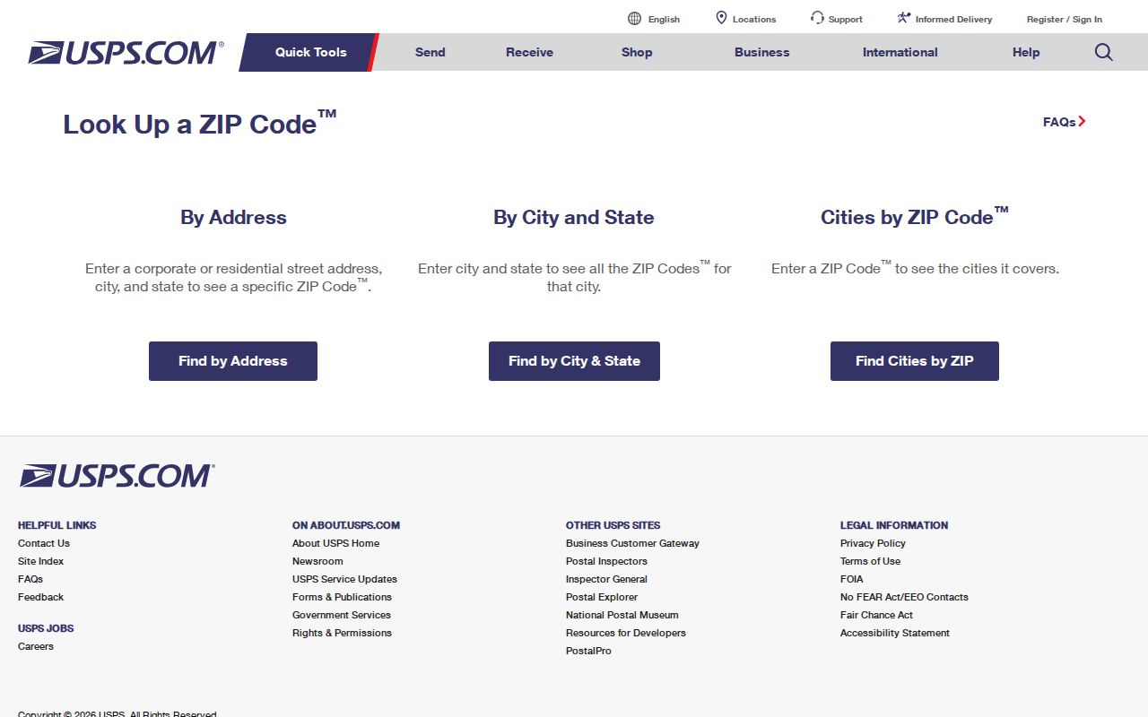
The USPS result belongs to the entered delivery address. It does not verify ownership, every resident at the address, or the local government boundary.
This is especially useful around Greensburg, Irwin, and Jeannette postal identities. A county record search should use the confirmed parcel, UPI, core street location, or owner name after that first check.
Read Hempfield Township Postal Identity Carefully
The plan notes that ZIP Code identity can obscure municipal identity in southwestern Pennsylvania. That local pattern is more than a map detail. A person can truthfully use a Greensburg, North Huntingdon, or Jeannette postal label while the parcel is in Hempfield Township. Conversely, a ZIP associated with Greensburg can serve land outside the Township. Postal geography is a delivery system, not a jurisdictional record.
For address research, record the exact ZIP and postal city from USPS beside the county GIS municipality and 911 address. This makes later questions easier to resolve, especially when a deed's legal description or an older directory uses a different locality label. The Township plan's survey figures support the need for this paired notation, but they do not assign every household to a particular ZIP.
Use the Hempfield Township ZIP Workflow
ZIP information is still a useful starting clue, provided it hands off to the record system that actually accepts the search key. This locally documented sequence keeps postal routing, municipal geography, and property research in their proper lanes.
- Enter the complete street number and road in the USPS lookup and preserve the recommended ZIP and postal city for that address.
- Open County GIS, choose Search Parcels, select Address as the alias, enter the address, and choose Hempfield Township from the municipality dropdown.
- Select the returned parcel and note the 911 address, UPI or map number, and map position.
- Use the parcel, UPI, core property location, or owner name in the county property search. Do not substitute the ZIP for those fields.
- For a title or older-address question, carry the legal description and dated street label to the Recorder, library, or archives source that covers that period.
The official Westmoreland 911 Addressing instructions show the exact GIS controls used for the second and third steps.
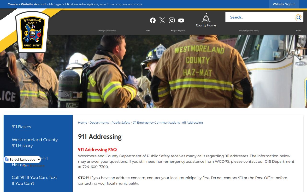
The GIS procedure requires a Search Alias and municipality selection before the parcel popup reveals the 911 address. It is an address-verification process, not a ZIP-wide residents search.
Why Hempfield Township Records Do Not Filter by ZIP
No local portal inspected for this research has a documented ZIP filter. The Westmoreland County Real Property Search accepts parcel number, owner name, and property location. County GIS uses Address, Owner Name, Parcel Number, or UPI Code. The Recorder's advanced search uses municipality, UPI, tax map, lot, subdivision, party, and date fields. Those are land and document placement tools rather than postal-area filters.
| Portal | Documented search fields | ZIP filter? |
|---|---|---|
| County Real Property Search | Parcel number, owner name, property location, and optional combined criteria | No documented ZIP field. |
| County GIS Tax Mapping | Address, owner name, parcel number, UPI Code, and municipality | No documented ZIP field. |
| Recorder DTS Public Access | Party, date, municipality, UPI, tax map, lot, subdivision, instrument, Book/Page, and archives modes | No documented ZIP field. |
A ZIP can help organize notes after USPS verification, but it cannot replace a parcel or address query. If a portal is updated later, use only filters the custodian documents at that time.
Hempfield Township Address Labels Defined
Several labels may describe the same structure. Understanding their purpose prevents a postal label from being mistaken for a land-record identifier.
- ZIP Code
- A USPS delivery-routing code for a mailing address. It does not draw the Township border.
- ZIP+4
- An added USPS delivery detail for a narrower mail segment. It is not a property or household identifier.
- 911 address
- The emergency-service address shown in County GIS after a parcel is selected. It is the county's physical-address reference.
- Tax-billing address
- The correspondence address used for assessment or tax communication. It may be different from the parcel's physical address.
- UPI or parcel number
- A county land identifier that connects mapping and property work more reliably than a postal label.
County guidance also distinguishes civic, postal or mailing, and tax-billing addresses. A legal description, subdivision, or lot is a land-placement detail, not a mail-delivery address.
Keep Historic Hempfield Township Records in Their Era
Current ZIP boundaries should not be projected backward onto older households. For historic research, follow the parcel, legal description, older road label, locality, and date. The Greensburg Hempfield Area Library holds local directories, census, and newspaper microfilm, while the Recorder and State Archives supply deed books, grantor-grantee indexes, and tax assessments for earlier eras. A record from an 1890 or 1910 directory predates today's postal layout and should be described in the place terms used by that source.
Hempfield Township tax assessments in the State Archives guide begin in 1786, and Westmoreland deed books begin in 1773. The modern county web description of deeds from 1850 forward is a current public-search availability statement, not the historical beginning of the county's land records. Match the channel to the era when an online result runs out.
Note: The county did not document a Township-wide historic renumbering or grid system in the reviewed sources, so do not assume one.
Hempfield Township ZIP Code Limits
A ZIP code directory can confirm postal routing for a specific address, but it cannot identify everyone who lives there. County property and deed results name record parties or owner associations, not all occupants. Utility, delivery, and DMV files are not general public ZIP lists. The Pennsylvania Address Confidentiality Program also protects actual addresses for eligible participants using substitute addresses.
When an official address appears inaccurate, start with the appropriate custodian. County guidance directs an address concern first to the local municipality, with parcel or map information available for the request. A protected or mismatched address is not a reason to seek private data.
Hempfield Township ZIP Code Research Notes
Use USPS for delivery routing, GIS for the municipal parcel, and county property or recorder tools for records tied to that parcel. The Hempfield Township street directory provides the address-level sequence once the ZIP and municipality have been verified. This division of work is practical in a Township whose postal identity crosses nearby communities.
For an address question, the county's 911 process also supplies a correction route. Start with the local municipality, not the Post Office or 911, and have the parcel or map number ready. The municipality submits a qualifying request to Westmoreland County Department of Public Safety, which processes the address assignment. That procedure concerns the physical emergency-service address; USPS controls mail routing for the particular delivery address. The two systems can agree, but they serve distinct functions.
For property research after the address is confirmed, the county calls its public data the current tax duplicate and refreshes it in late January and late June. Preserve the search date, then use a recorder document and legal description when the question is a past transfer. A mailing address attached to the tax record is only the place used for correspondence. It is not evidence that the listed owner occupies the property.
Do not call the three documented postal identities a full list of every possible edge or PO-box ZIP. Verify an individual address with USPS and County GIS, retain the source date, and call the custodian if a boundary or address assignment needs correction.